Pinzgau Walk
Tour description
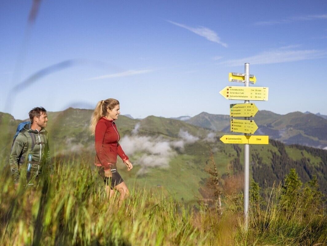
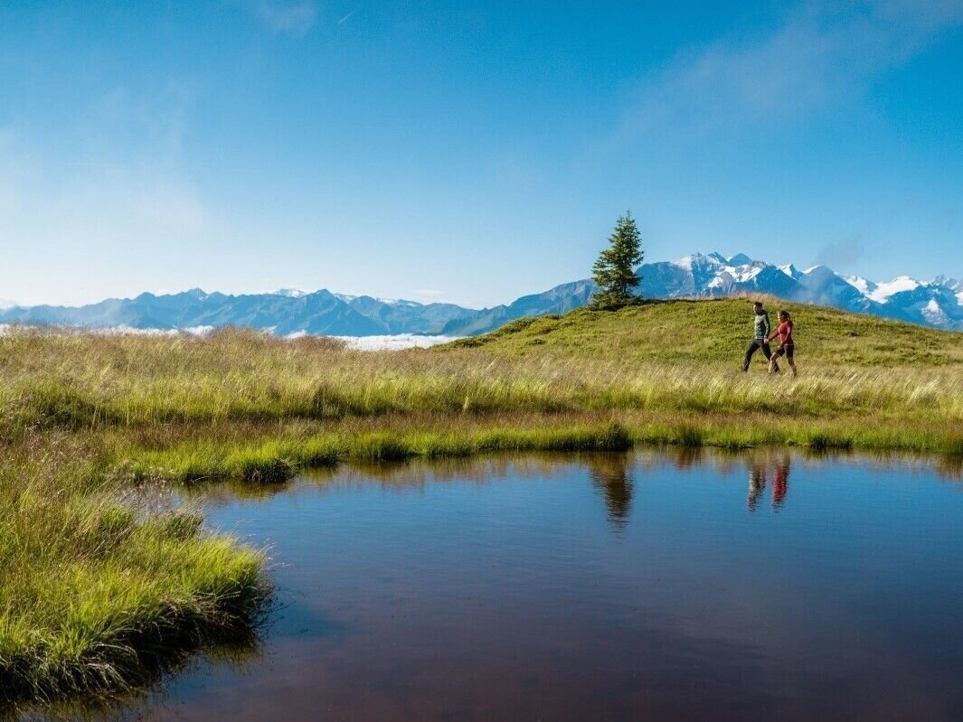
One of the most beautiful high trails in the eastern Alps and a panorma view with no fewer than thirty 3000-meter peaks.
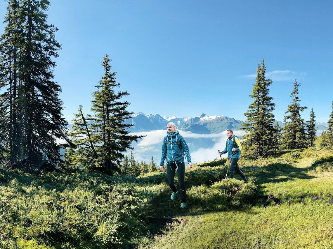
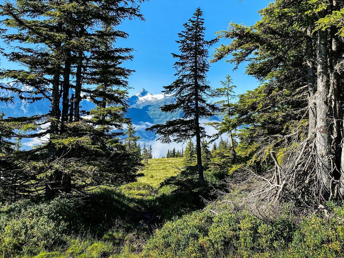
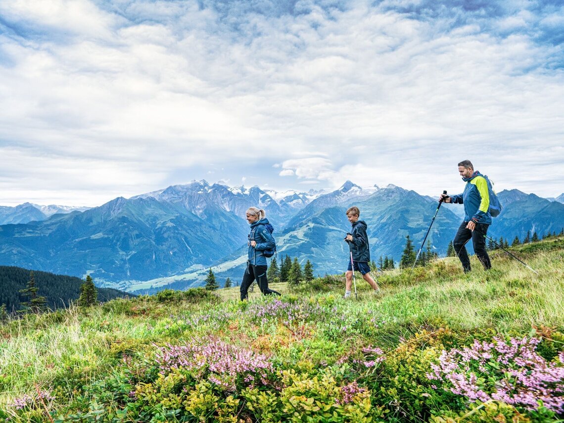
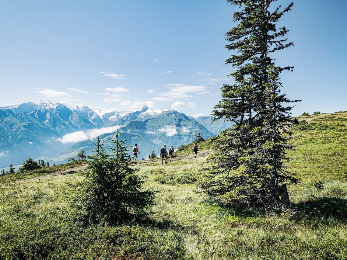
The Pinzgau walk is one of the most beautiful high-altitude trails in the Eastern Alps, including amazing views of the snow-covered peaks of the 3,000-metre-high mountains in the Hohe Tauern. Grossglockner, Kitzsteinhorn, Granatspitze, Sonnblick and Grossvenediger present themselves from their most beautiful side.
Details & elevation profile
Starting point
Schmittenhöhe mountain station
Finishing point
Schattberg Saalbach
Route type
Hiking tours
Route description:
Exit Schmittenhöhe - Elisabeth Chapel - Kettingtörl - Pinzgauer Hütte - along the Hahnkopf lift - Kettingkopf - along the ridge - Hochsonnbergalm - trail to the Rohrertörl - below the Niederer Gernkogel - signpost (descent via Rohrerberg into the Salzach valley to Niedernsill) - in a north-westerly direction to the Kammerscharte - from the Niedernsiller Hochsonnberg you reach the Klingertörl - to the north turn-off to the Seetörl - either branching off to the Hacklbergalm descending to Hinterglemm - or along the ridge of the Saalbachkogel and Stemmerkogel to the Schattberg - descent with the Schattbergbahn-Ost to Saalbach.
Further options: Hike from the Klingertörl to the Medalkogel and descent to Uttendorf. For long-distance hikers, the Pinzgau Walk ends at the Bürglhütte (overnight accommodation) - descent to Stuhlfelden. Röhrertörl: approx. 2.5 h, descent to Piesendorf: approx. 3.5 h, descent to Niedernsill: approx. 6 h, Klingertörl: 5 h, descent to Uttendorf: approx. 8 h, Bürgl Hütte: approx. 10 h, Schattberg: approx. 6 h, descent to Hinterglemm: approx. 9 h
Tips
Ride up on the Schmittenhöhe cable car. Afterwards hike along the "Pinzgau Walk" to Saalbach. Ride down on the Schattberg X-Press. Back by bus to the original starting point.
Recommended equipment
There are no open huts or mountain restaurants along the route! Bring sufficient supplies – ideally two complete meals, additional snacks and several litres of water. Good food wear, protection agains rain and sun! The weather can change quickly in the mountains!
Points along the way
Best time of year
Jan
Feb
Mar
Apr
May
Jun
Jul
Aug
Sep
Oct
Nov
Dec
Further information & links
Opening times:

