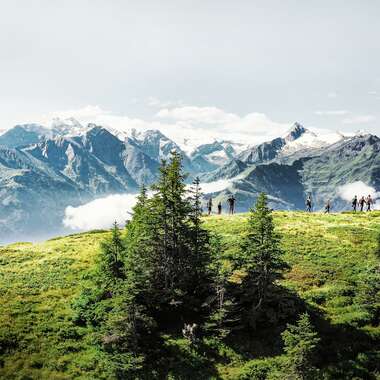
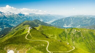
Stage 2: Wildgerlos Valley | Hochkrimml-Königsleiten
Hohe Tauern Panorama Trail Multi-day hike along the long-distance trail
Escape from everyday life for a few days, leave the valley far behind you and get completely immersed in the nature of the Hohe Tauern: If you take the Hohe Tauern Panorama Trail, the new long-distance hiking trail in SalzburgerLand, you are in for a very special nature adventure. Totalling 17 stages, this new long-distance hiking trail leads from the starting point at the foot of the Krimml Waterfalls to the Schmittenhöhe high above Zell am See. The route is a total of 275 kilometres long, and along the way you will spend the night either in the valley or in cosy mountain huts.
Tour with hiking shuttle service and luggage transfer
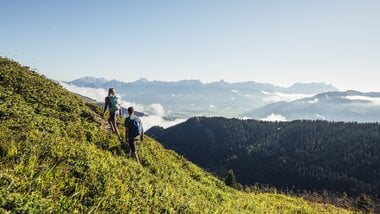
The trail leads you across the mountain world of the Hohe Tauern and combines tranquillity, sporty challenge and impressive views. The long-distance trail offers not only natural sights, but also exciting exhibitions and excursion destinations in the stage towns.
In addition, mountain railways are always available along the route, carrying you comfortably uphill, metre by metre. Furthermore, a convenient hiking shuttle service ensures comfort, and the bookable luggage transfer brings your equipment from one stage destination to the next.
(DIGITAL) HIKING PINS
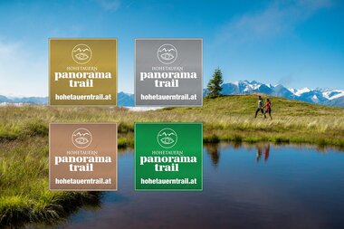
As a souvenir of your hiking adventure along the Hohe Tauern Panorama Trail, you have the possibility to collect four hiking pins through points. The virtual hiking pins in "Gold", "Silver", "Bronze" and "Green" can then be exchanged for a pin in the tourist offices along the trail.
How to collect the hiking pins? Very simple: download the Summitlynx tour app and collect points on your multi-day hike along the Hohe Tauern Panorama Trail. The app also serves as a digital tour book on your smartphone.
Download in the Google Playstore
THE 17 STAGES OF THE "HOHE TAUERN PANORAMA TRAIL":
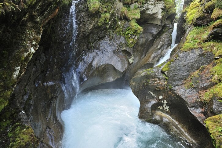
On the trail of the element of water in the Wildgerlos Valley
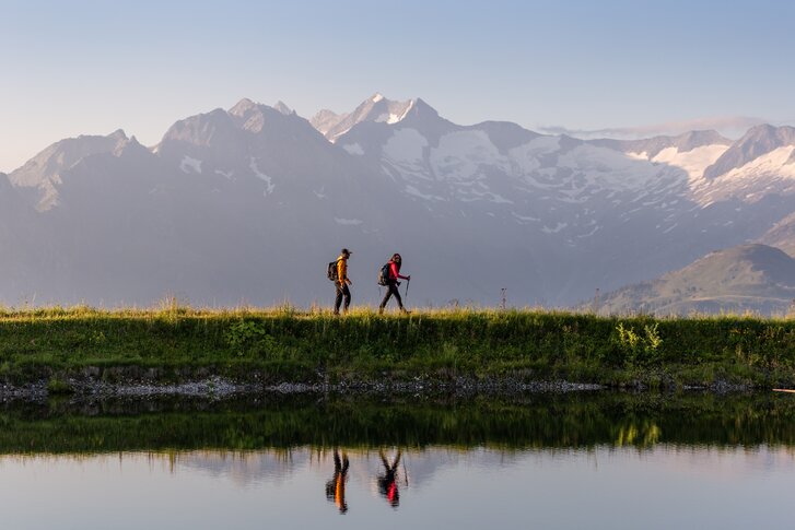
Alpine crossing of the impressive Kröndlhorn
Stage 3: Kröndlhorn | Königsleiten-GH Rechtegg/ Neurkirchen
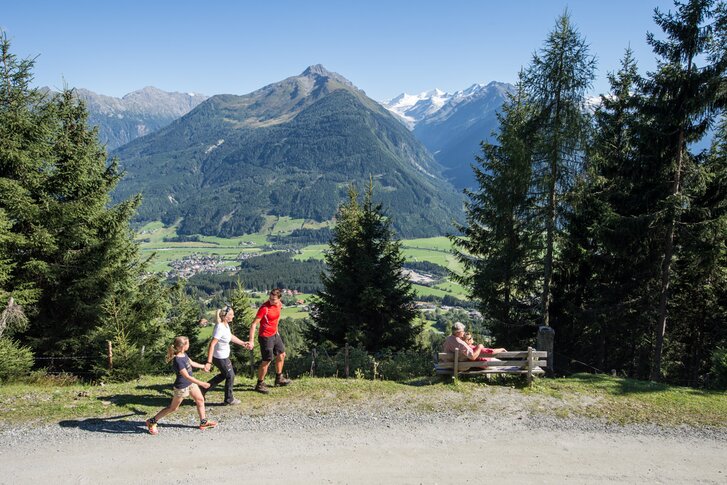
Enjoy a magnificent view of the Grossvenediger from the summit of the Frühmesser
Stage 4: Wildkogel | GH Rechtegg/ Neukirchen-Wildkogelhaus/ Bramberg
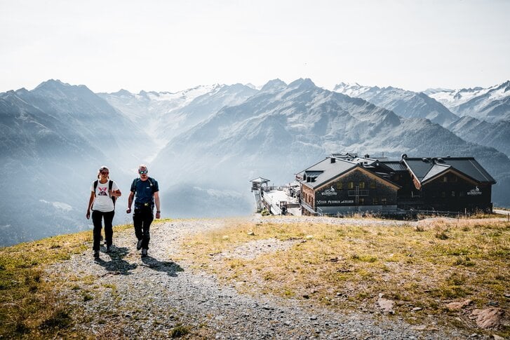
Magnificent views of the Hohe Tauern glaciers
Stage 5: Rettenstein-Blick | Wildkogelhaus/ Bramberg-Panorama Alm
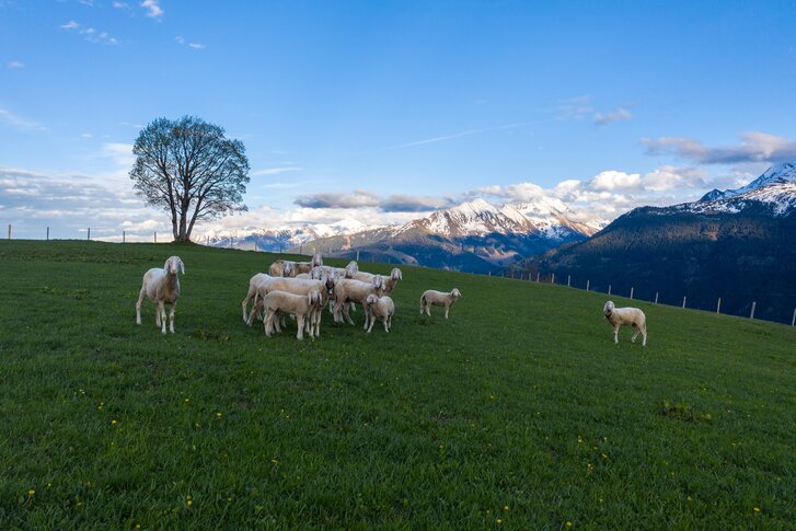
From Pass Thurn to the most modern National Park Centre in the Alps in Mittersill
Stage 6: Pass Thurn | Panorama Alm-Mittersill
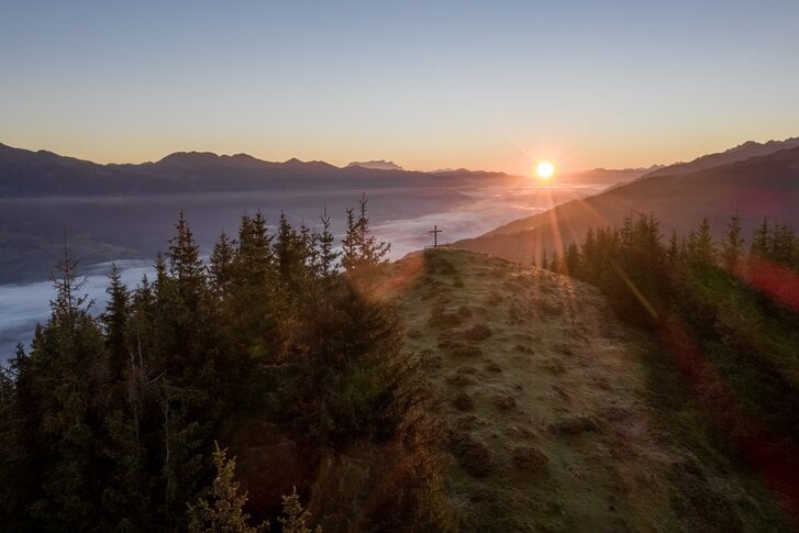
On lonely paths to one of the highest grass mountains in Europe
Stage 7: Around the Gaisstein | Mittersill-Bürglhütte
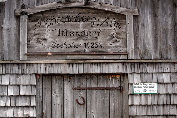
Unique high-altitude hike on the "Pinzgau Walk"
Stage 8: Hochsonnbergalm | Bürglhütte-Uttendorfer Hochsonnbergalm/ Uttendorf
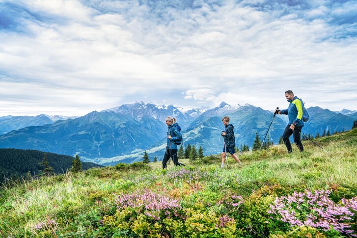
New perspectives and a fantastic panoramic view of Zell am See
Stage 9: Pinzgauer Hütte | Uttendorfer Hochsonnbergalm/ Uttendorf-Pinzgauer Hütte
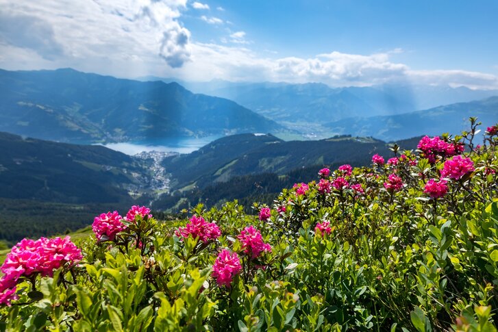
In the footsteps of Empress Sisi from the Schmittenhöhe to the shores of Lake Zell
Stage 10: Lake Zell | Pinzgauer Hütte Schmittenhöhe
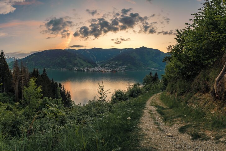
Around Lake Zell through this wonderful gem for nature lovers to Bruck an der Großglocknerstraße
Stage 11: Thumersbach High-Altitude Promenade | Zell am See-Bruck an der Großglocknerstraße
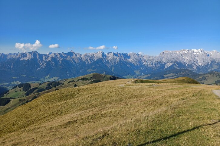
Crisp and with the best views across the Hundstein to Taxenbach
Stage 12: Hundstein | Bruck a. d. Großglocknerstraße-Taxenbach
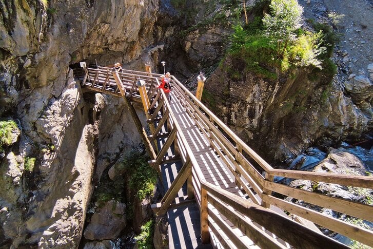
Through the spectacular Kitzloch Gorge and to an ancient pilgrimage site
Stage 13: Kitzloch Gorge | Taxenbach-Embach
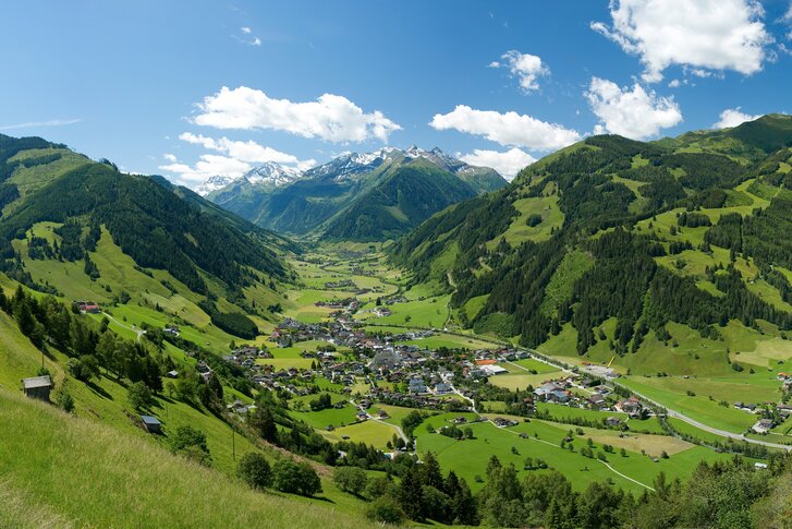
Back to the mountains with double summit bliss
Stage 14: Grubereck | Embach-Rauris
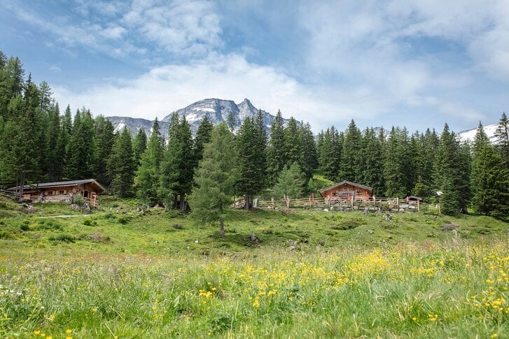
On the trail of gold and across idyllic alpine pastures to the head of the Rauris Valley
Stage 15: Rauris Valley | Rauris-Kolm Saigurn
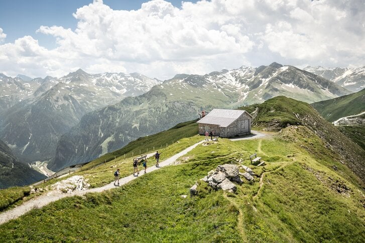
From Kolm Saigurn at the foot of the Goldberg group to the former "Monte Carlo of the Alps"
Stage 16: Stubnerkogel | Kolm Saigurn-Bad Gastein
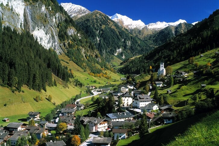
On imperial tracks from the Gastein Valley to the "Valley of the Alpine Pastures"
Stage 17: Valley of the Alpine Pastures | Bad Gastein-Hüttschlag

