KA7 | Kitzsteinhorn-Uphill Mountainbike tour
Tour description
ATTENTION: This trail is closed from the Stangerbauer. Alternatively, you can keep left at the Stangerbauer and take the KA5 to the Saulochalm.
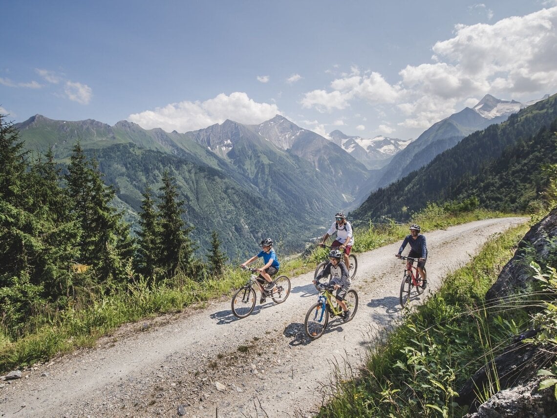
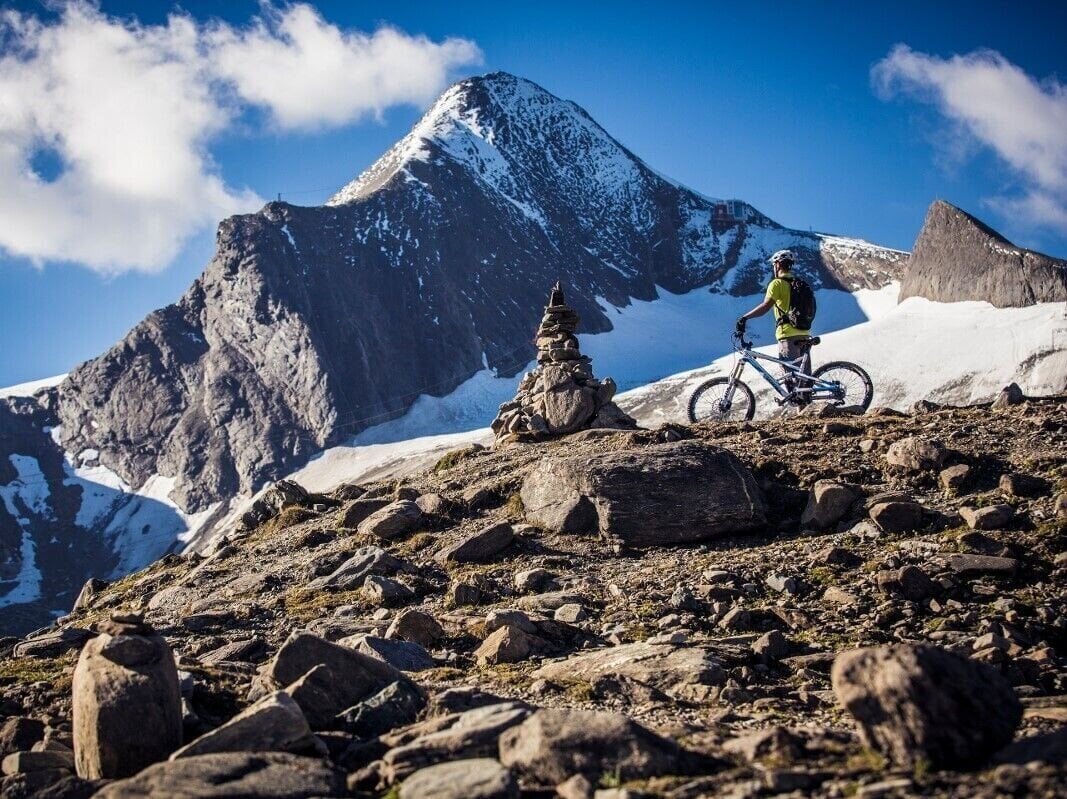
This tour starts at the Kaprun Center for the particularly ambitious. Up to the Gletscherjet 3/4 middle station, a challenging 2,179 m difference in altitude is conquered
Details
Starting point
Kaprun centre
Finishing point
middle station Gletscherjet 3/4
Route type
Mountainbike tour
Route description:
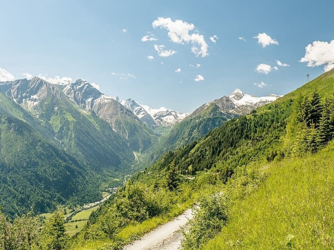
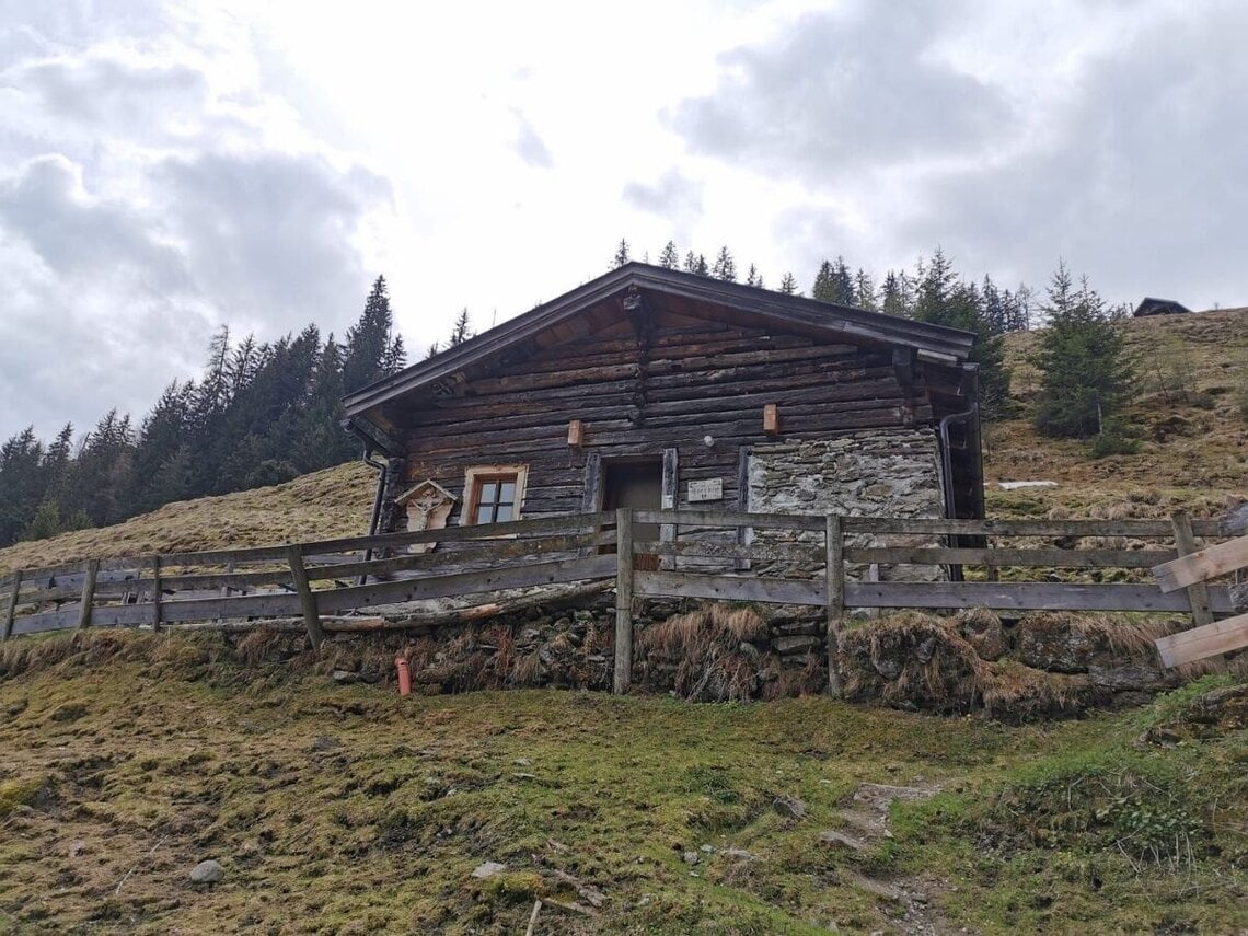
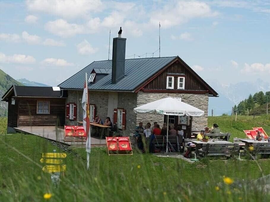
This bike route combines sporty and challenging climbs, many trail kilometres and a rewarding destination with the best views: The legendary route uphill to the Kitzsteinhorn attracts especially endurance uphill (E)- bikers. The start of this route, just like the tour uphill to the Maiskogel, is from the centre of Kaprun via Schaufelbergstraße in the direction of Jausenstation Unteraigen and mountain restaurant Stangerbauer refreshment stops. The route from there continues to the Maiskogelweg junction, then the trail marked KA7 leads to the Kitzsteinhorn, passing the upper terminus of the MK Maiskogelbahn. Rolling downhill along the Astenweg to the quaint Ederalm is a breeze, before the next climb follows. The tour leads via the Salzburger Hütte in sweeping serpentines uphill to the middle station Gletscherjet 3/4 at 2.617 metres above sea level, and right into high-alpine terrain.
Elevation profile
Tips
Of course, the tour is a little easier with an e-bike!
If your battery is running low after the long ascent, there are e-bike charging stations at the following locations: Alpincenter at 2,450 m, MK Maiskogelbahn mountain station and Langwiedbahn valley station.
If your battery is running low after the long ascent, there are e-bike charging stations at the following locations: Alpincenter at 2,450 m, MK Maiskogelbahn mountain station and Langwiedbahn valley station.
Best time of year
Jan
Feb
Mar
Apr
May
Jun
Jul
Aug
Sep
Oct
Nov
Dec
How to get there
Coordinates
47.27095, 12.75716
Public transport
train station Zell am See
train station Zell am See
Parking
Parking place Kaprun centre
Parking place Kaprun centre
Further information & links
The times given are approximate guide values!

